UN
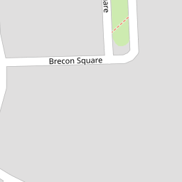
6 Brecon Square
£ 185,000
Description
We don't have a Description for this property.
- Bedrooms
- 3
- Bathrooms
- 0
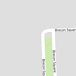

Leaflet © OpenStreetMap contributors
The heatmap indicates the level of crime in the area. The color of the heatmap indicates the crime severity and recency.
Metrics Year-on-Year
- Average area value
- 378,541.00 £Decreased by 23.06 %
- Average area rental value
- 1,958.00 £/moIncreased by 7.17 %
- Est rental Yield
- 6.21 %Increased by 39.24 %
- Crime Rate
- 19.00 %Unchanged by 0.00 %
from 491,975.00 £
from 1,827.00 £/mo
from 4.46 %
from 19.00 %
Nearby Schools
| Name | Type | Ofsted | Distance |
|---|---|---|---|
| Laleham Gap School | Foundation Special School | Good | 0.36 KM |
| Newington Community Primary School | Community School | Outstanding | 0.52 KM |
| Newington Children'S Centre | Children's Centre | 0.64 KM | |
| Small Haven School | Other Independent Special School | Good | 0.83 KM |
| Ramsgate Arts Primary School | Free Schools | Good | 0.92 KM |
Images
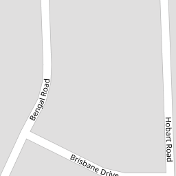
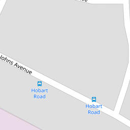
Nearby Streets
| Name | Average Price | Average Sqft | Distance |
|---|---|---|---|
| Hobart Road | £ 222,498 | 0 | 0.00 KM |
| Brisbane Drive | £ 0 | 0 | 0.00 KM |
| St. Johns Crescent | £ 0 | 0 | 0.00 KM |
| Brandon Road | £ 243,333 | 0 | 0.00 KM |
| St. Johns Avenue | £ 260,000 | 0 | 0.00 KM |
Nearby Transport
| Name | NLC | TLC | Distance |
|---|---|---|---|
| Ramsgate | 5023 | RAM | 1.92 KM |
| Dumpton Park | 5034 | DMP | 3.93 KM |
| Margate | 5018 | MAR | 4.74 KM |
| Broadstairs | 5006 | BSR | 5.02 KM |
| Westgate-On-Sea | 5195 | WGA | 6.91 KM |
Nearby Listings
| Address | Price | Type | Score | Distance |
|---|---|---|---|---|
| Brecon Square, Ramsgate, CT12 | £ 235,000 | BUY | Unknown | 0.03 KM |
| Hobart Road, Ramsgate, CT12 | £ 280,000 | BUY | 7 / 10 | 0.05 KM |
| Brisbane Drive, Ramsgate, Kent | £ 130,000 | BUY | 4 / 10 | 0.16 KM |
| Brisbane Drive, Ramsgate | £ 130,000 | BUY | 5 / 10 | 0.16 KM |
| Bengal Road, Ramsgate, CT12 | £ 180,000 | BUY | Unknown | 0.18 KM |
Nearby Properties
| Address | Price | Distance |
|---|---|---|
| 4a Brecon Square | £ 73,000 | 0.00 KM |
| 32 Brecon Square | £ 102,000 | 0.00 KM |
| 6 Brecon Square | £ 185,000 | 0.00 KM |
| 10 Brecon Square | £ 122,000 | 0.00 KM |
| 18 Brecon Square | £ 222,500 | 0.00 KM |